Navigating in Low Visibility: Fog, Rain, and Night in the British Countryside
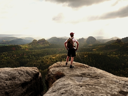
Understanding Low Visibility in the UK CountrysideWhen navigating through the British countryside, encountering low visibility conditions is not just an occasional inconvenience—it’s a regular part of rural travel. The unique combination of Britain’s maritime climate and its varied landscapes means that drivers and walkers alike are often challenged by fog, rain, and darkness. Fog is…