Avoiding Falls on Slippery British Paths: Balance Exercises and Injury Reduction Strategies
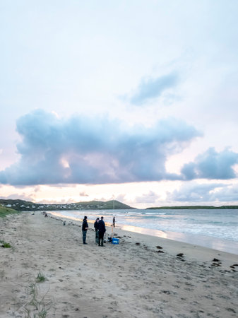
Understanding the British Landscape and Path HazardsWandering along a winding British footpath is one of life’s simple pleasures, whether you are meandering through an ancient woodland in the Lake District, treading cobbled lanes in a Cotswolds village, or cutting across a dew-soaked common at dawn. Yet, beneath the tranquil beauty lies a patchwork of subtle…